10931715-diaporama
This magnificent 22 km run, with 1000 m of height gain, is all on the Grandes Rousses massif. Perfect for training for long runs.
About : Col de Maronne – n°4 – Bleu
Oisans Trail Station route no. 4 - Villard Reculas centre
TECHNICAL INFORMATION
Start/finish: Villard Reculas
Length: 3 to 7 hours
Distance: 22 km
Max. altitude: 1850 m
Min. altitude: 1200 m
Height gain: 955 m
ROUTE
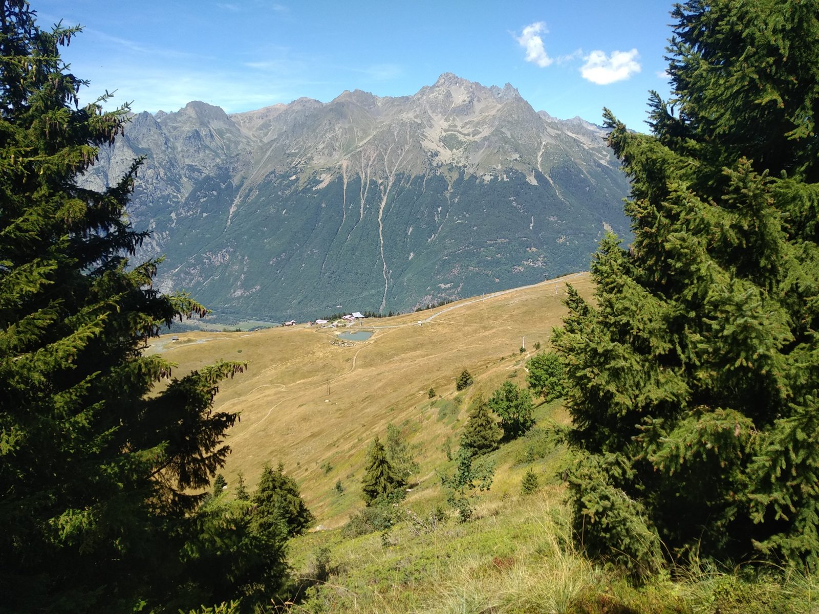
Turn left outside the tourist office towards Huez and then take the first road on the left towards the church. Cross the historic village of Villard Reculas. The first climb takes you towards La Pierre Ronde and then towards Lachal on the path running above the road. The path rejoins the road to go over the famous Pas de la Confession, from where you can admire the magnificent view over Bourg d'Oisans and the Oisans peaks. Run to Huez on the Sentier de l'Oratoire, then take the path to the Sarenne Gorges and the Roman bridge. The next climb up to Maronne will give you great views back over Huez. The path goes through pastureland to the Col de Maronne the just above the resort of Auris en Oisans. Turn left for a spectacular, but very short uphill section. You then reach Cluy, where we recommend you stop off briefly to admire the church. Then it's back to the Sarenne Gorges via the Col de Cluy. At the Col de la Pierre Ronde, turn off to Alpe d'Huez via Brandes. The run back to Villard Reculas is on the aptly-named Sentier Panoramique.
EXTRA INFO: Le Pas de la Confession
The historical road up to Villard Reculas offers extraordinary views over the Romanche Valley, Vénéon Valley, Bourg d'Oisans and the surrounding Oisans peaks.
En bref
3 h 00
J+ : 955 m
22 km
Level bue - Medium
Map and GPX marking
Col de Maronne – n°4 – Bleu
Villard-Reculas
Facilities
- Public WC
- Car park
- Defibrillator
- Covered car park
- Parking nearby
- Coach parking
Services
Activities
- Duration of the session: 180 minutes
Tours
- Average duration of the individual tour: 180 minutes
Download
Opening
From 23/05 to 31/10 daily.
Subject to favorable snow and weather conditions.
Location supplement
Starts and finishes at Villard Reculas tourist office